 |
 |
|
|
|
|
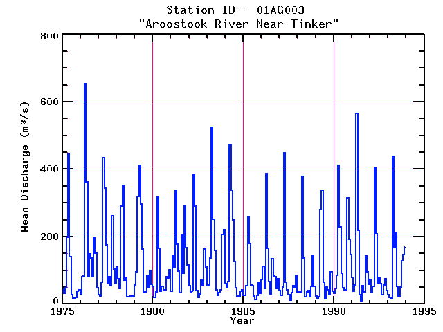
| Name: | AROOSTOOK RIVER NEAR TINKER | Lattitude: | 46.783333 |
|---|---|---|---|
| Station ID: | 01AG003 | Longitude: | -67.716660 |
| Data Type: | Stream Discharge (cms) | Elevation: | |
| Data Source: | HYDAT | Beginning Year: | |
| State / Province: | NB | Ending Year: |
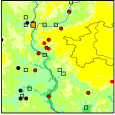
| Other Close Sites | ||
|---|---|---|
| Data Type | PointID | Name |
| Air Temperature (C) | 8100300 | AROOSTOOK |
| Precipitation (mm) | 8100300 | AROOSTOOK |
Due to data provider restrictions, we are not able to provide tabular data for this site at this time.
Download
Site Descriptor Information
Site Time Series Data